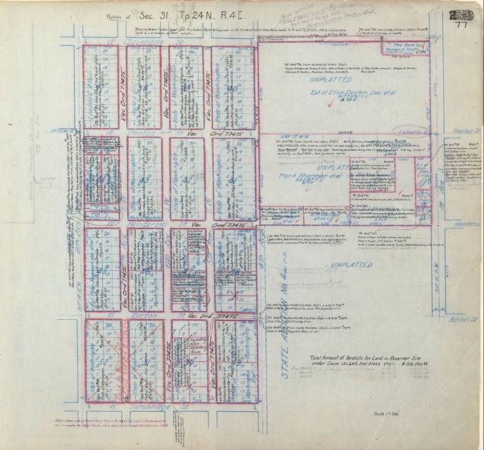
From SPU Cedar River Watershed Atlas; See index map for related items
Subject Terms:
LAND ACQUISITION;LOCAL IMPROVEMENT DISTRICTS;RESERVOIRS;HIGHLAND PARK;DELRIDGEMap
Download as 467020397
Permissions:
Photographs created by the City of Seattle are public record and do not require permission for use; please cite Courtesy of the Seattle Municipal Archives and include the identifier number. If a rights holder other than the City of Seattle exists, that information will appear in the Notes field. If you require a high-resolution file, please contact the archives archives@seattle.gov. There is an $8/scan fee for this service (see our fee schedule, here).
Citation:
Courtesy of the Seattle Municipal Archives, #6, Series 8204-02.